Population 243 (2011 census) State electorate(s) LaraBuninyong Postal code 3340 | Postcode(s) 3340 Local time Wednesday 12:20 PM | |
 | ||
Location 71 km (44 mi) W of Melbourne39 km (24 mi) N of Geelong24 km (15 mi) S of Bacchus Marsh Weather 31°C, Wind SE at 13 km/h, 23% Humidity Federal divisions Division of Ballarat, Division of Corio | ||
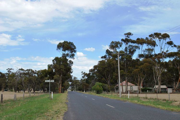
Balliang is a locality in Victoria, Australia. It is divided between the Shire of Moorabool and City of Greater Geelong local government areas. It lies north of Geelong and 54 kilometres (34 mi) from the state capital, Melbourne. At the 2011 census, Balliang had a population of 243.
Map of Balliang VIC 3340, Australia
The locality was named for a house in Geelong owned by Foster Fyans, which was in turn named for Balliang (or Ballyang), who was an Aboriginal leader employed by Fyans. Balliang Post Office opened on 23 June 1910 and closed in 1968.
References
Balliang, Victoria Wikipedia(Text) CC BY-SA
