
OS grid reference NT483781 Post town LONGNIDDRY Local time Wednesday 1:02 AM | Sovereign state United Kingdom Postcode district EH32 Dialling code 01875 | |
 | ||
Weather 3°C, Wind SW at 16 km/h, 76% Humidity | ||
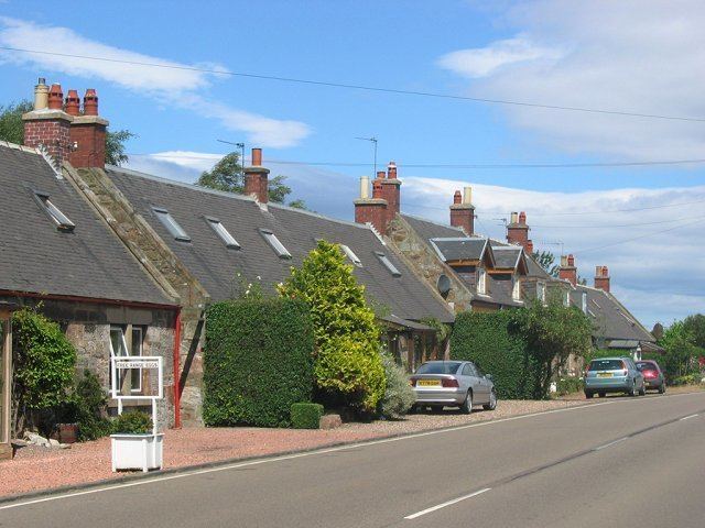
Ballencrieff is a rural community in East Lothian, Scotland. It is located between the towns of Aberlady, Drem, Haddington and Longniddry and is approximately 20 miles from Edinburgh. The name comes from the Scottish Gaelic Baile na Craoibhe meaning "Tree town".
Map of Ballencrieff, Longniddry, UK
The village comprises typical rural housing, and some industry, including commercial pork farming, and a specialized plant which selectively breeds chickens to lay high-quality eggs. Nearby Ballencrieff Castle was built in 1507. The nearby "Ballencrief roundabout", on the busy commuter route between North Berwick and Edinburgh, has a reputation as an accident blackspot.
References
Ballencrieff, East Lothian Wikipedia(Text) CC BY-SA