
Time zone WET (UTC+0) Local time Wednesday 12:33 AM | Elevation 140 m | |
 | ||
Weather 4°C, Wind W at 14 km/h, 89% Humidity | ||
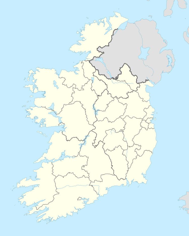
Ballaghnatrillick (Irish: Béal Átha an Trí Liag, meaning "ford-mouth of the three flagstones"), locally Ballintrillick, is a village in County Sligo, Ireland.
Map of Ballaghnatrillick, Co. Sligo, Ireland
Local attractions include the three stones (from which the village gets its name). It also has a church, St Brigid's, and there are plans to build a shopping centre next to the crossroads in Hollyfield. Ballintrillick as the area is locally known was once one of the main sources for the mineral barytes in western Europe. It is approximately 20 minutes north from Sligo.
Barytes The carboniferous uplands of the Dartry mountain range have been associated with the mining of Barytes ore for more than 120 years. Barytes ore is a very heavy inert mineral which makes it ideal for a number of different products such as paits and pottery and its inertness the fact it blocks radiation makes it ideal for use in nuclear power stations. The first recorded Barytes mining operation in Ballintrillick was in 1858 between then and 1979 six separate companies worked the ore. While there are considerable deposits remaining they are currently viewed as uneconomical to mine The Barytes ore was transported by the use of a narrow gauge railway to the nearby fishing village of Mullaghmore from where much of the ore was exported