
Country United States County Aitkin Time zone Central (CST) (UTC-6) Local time Tuesday 5:57 PM | State Minnesota Elevation 381 m | |
 | ||
ZIP code 55752, 55784, 56469, and 55760 Weather 0°C, Wind N at 11 km/h, 83% Humidity | ||
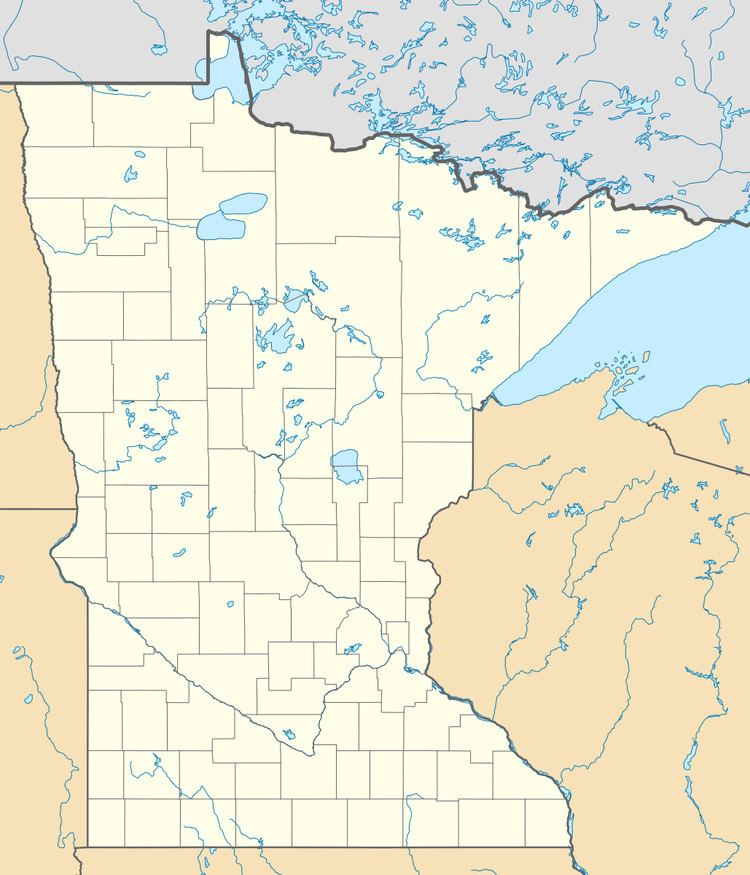
Ball Bluff is an unincorporated community in Ball Bluff Township, Aitkin County, Minnesota, United States. The community is located between Jacobson and McGregor along State Highway 65 (MN 65). The Mississippi River flows nearby.
Map of Ball Bluff, MN 55784, USA
Nearby places include Jacobson, Swan River, Libby, and Palisade. Ball Bluff is 10 miles south of Swan River, and 26 miles north of McGregor.
The center of Ball Bluff is generally considered at the junction of Highway 65 and 650th Lane / Carmel Church Road. The community is located within the Savanna State Forest in the northeast portion of Aitkin County.
References
Ball Bluff, Minnesota Wikipedia(Text) CC BY-SA