
Country Philippines Barangays Area 57.8 km² Province Misamis Oriental | Founded March 1, 1952 Time zone PST (UTC+8) Local time Wednesday 7:18 AM | |
 | ||
Region Northern Mindanao (Region X) District 1st district of Misamis Oriental Weather 26°C, Wind E at 8 km/h, 83% Humidity | ||
Balingoan is a fifth class municipality in the province of Misamis Oriental, Philippines. According to the 2015 census, it has a population of 11,051 people.
Contents
- Map of Balingoan Misamis Oriental Philippines
- Barangays
- History
- Economy
- Culture
- Transportation
- Education
- References
Map of Balingoan, Misamis Oriental, Philippines
Barangays
Balingoan is politically subdivided into 9 barangays.
History
Formerly part of Talisayan, it gained independence on March 1, 1952. According to the local legend,it derived its name from the word "baling ni juan" (John's Fishing Net), which later on became simply as "Balingoan".
Economy
Produce: Copra, fish, sea shells, fruits, vegetables, animal meat, and dairy products.
Culture
Feast day: May 29. Patron Saint: San Alonzo de Rodriguez
Transportation
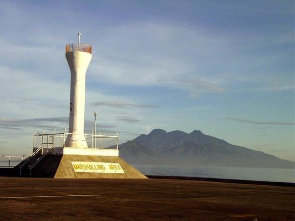
Port of Balingoan is the main port for travellers going to the provincial island of Camiguin. From Cagayan de Oro to Balingoan is about 86 kilometres (53 mi) and would take around 1.5 hours bus ride.
Education
There are 9 Public Elementary Schools situated in Barangays San Alonzo, Bauk-bauk, Lapinig, Mantangale, Mapua, Kauswagan, Kabulakan, Dahilig and Kabangasan.