Established 1898 Elevation 397 m Local time Wednesday 6:45 AM | Postcode(s) 6431 Founded 1898 Postal code 6431 | |
 | ||
Location 640 km (398 mi) ENE of Perth45 km (28 mi) NNW of Kalgoorlie Weather 24°C, Wind E at 19 km/h, 34% Humidity Lga City of Kalgoorlie-Boulder | ||
Balgarri is an abandoned town in Western Australia 45 km northnorthwest of Kalgoorlie It is between Black Flag and Ora Banda in the Goldfields-Esperance region of Western Australia.
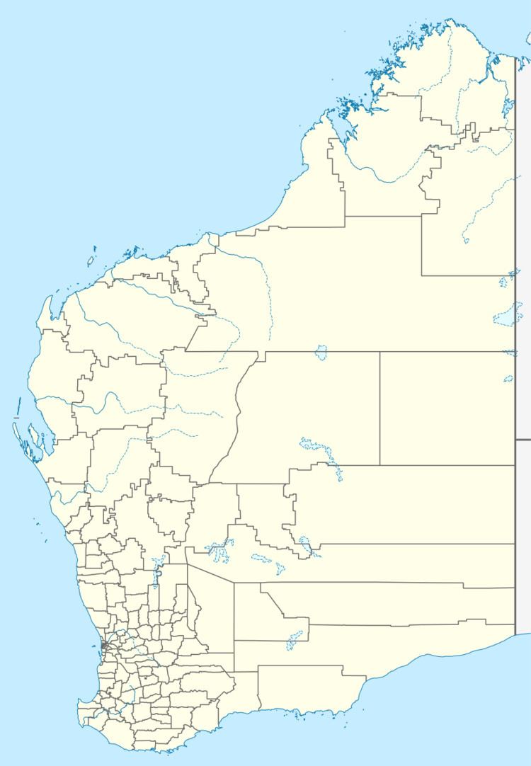
Map of Balgarri, WA 6431, Australia
The towns name is Aboriginal in origin and its meaning is not known. Initially known as Forty Two Mile the town was gazetted as Balgarri in 1898.
References
Balgarri, Western Australia Wikipedia(Text) CC BY-SA
