
Country United States FIPS code 38-04460 Elevation 492 m Zip code 58712 Local time Tuesday 4:42 PM | Time zone Central (CST) (UTC-6) GNIS feature ID 1027800 Area 127 ha Population 28 (2013) Area code 701 | |
 | ||
Weather -10°C, Wind E at 10 km/h, 72% Humidity | ||
Balfour is a city in McHenry County, North Dakota, United States. The population was 26 at the 2010 census. It is part of the Minot Micropolitan Statistical Area.
Contents
Map of Balfour, ND 58712, USA
History
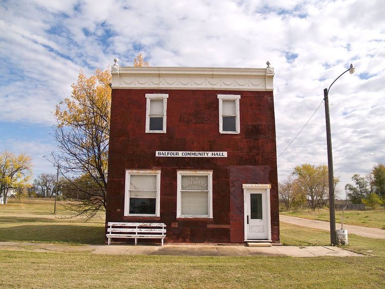
Balfour was founded in 1899 when the Soo Railroad was extended to that point. The city was named for Arthur Balfour, Prime Minister of the United Kingdom. A post office has been in operation at Balfour since 1899.
Geography
Balfour is located at 47°57′4″N 100°32′1″W (47.951113, -100.533608).
According to the United States Census Bureau, the city has a total area of 0.49 square miles (1.27 km2), all of it land.
Balfour is located on U.S. Highway 52 southeast of Minot.
2010 census
As of the census of 2010, there were 26 people, 14 households, and 6 families residing in the city. The population density was 53.1 inhabitants per square mile (20.5/km2). There were 18 housing units at an average density of 36.7 per square mile (14.2/km2). The racial makeup of the city was 96.2% White and 3.8% Native American. Hispanic or Latino of any race were 3.8% of the population.
There were 14 households of which 7.1% had children under the age of 18 living with them, 28.6% were married couples living together, 7.1% had a female householder with no husband present, 7.1% had a male householder with no wife present, and 57.1% were non-families. 50.0% of all households were made up of individuals and 7.1% had someone living alone who was 65 years of age or older. The average household size was 1.86 and the average family size was 2.83.
The median age in the city was 46 years. 15.4% of residents were under the age of 18; 3.7% were between the ages of 18 and 24; 30.7% were from 25 to 44; 42.2% were from 45 to 64; and 7.7% were 65 years of age or older. The gender makeup of the city was 50.0% male and 50.0% female.
2000 census
As of the census of 2000, there were 20 people, 14 households, and 6 families residing in the city. The population density was 41.2 people per square mile (15.8/km²). There were 21 housing units at an average density of 43.2 per square mile (16.5/km²). The racial makeup of the city was 100.00% White. Hispanic or Latino of any race were 5.00% of the population.
There were 14 households out of which none had children under the age of 18 living with them, 35.7% were married couples living together, and 57.1% were non-families. 57.1% of all households were made up of individuals and 7.1% had someone living alone who was 65 years of age or older. The average household size was 1.43 and the average family size was 2.00.
In the city, the population was spread out with 5.0% from 18 to 24, 25.0% from 25 to 44, 45.0% from 45 to 64, and 25.0% who were 65 years of age or older. The median age was 54 years. For every 100 females there were 122.2 males. For every 100 females age 18 and over, there were 122.2 males.
The median income for a household in the city was $7,917, and the median income for a family was $20,625. Males had a median income of $0 versus $0 for females. The per capita income for the city was $5,408. There are 33.3% of families living below the poverty line and 69.2% of the population, including no under eighteens and none of those over 64.