
Urban settlement Baley Urban Settlement | Local time Wednesday 7:37 AM | |
 | ||
Municipal district Baleysky Municipal District Weather -29°C, Wind W at 5 km/h, 62% Humidity | ||
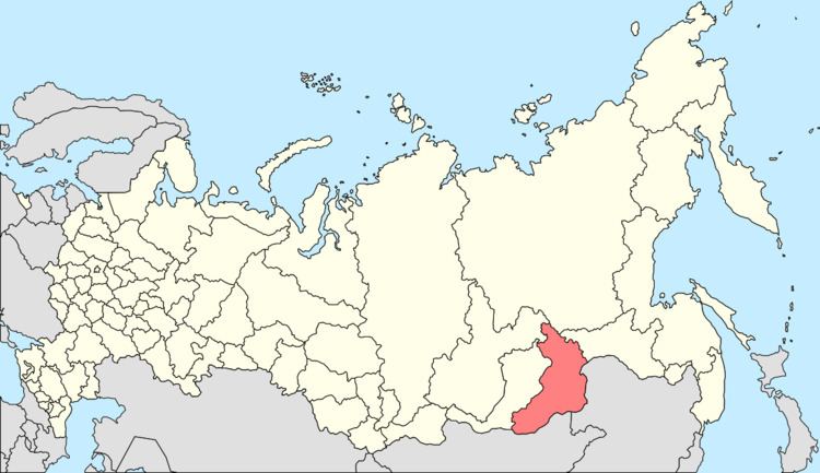
Baley (Russian: Балей) is a town and the administrative center of Baleysky District in Zabaykalsky Krai, Russia, located on the Unda River (Amur's basin), 350 kilometers (220 mi) east of Chita, the administrative center of the krai. Population: 12,533 (2010 Census); 14,797 (2002 Census); 23,898 (1989 Census).
Contents
- Map of Baley Zabaykalsky Krai Russia
- History
- Administrative and municipal status
- Economy
- Transportation
- References
Map of Baley, Zabaykalsky Krai, Russia
History
Baley was granted town status and received its name in 1938, when the gold mining settlement of Novotroitsk was transformed.
The Baleylag prison camp of the gulag was constructed here to house prisoners used as slave labor for mining the Tasseyevskoye gold deposits discovered in 1947.
Administrative and municipal status
Within the framework of administrative divisions, Baley serves as the administrative center of Baleysky District, to which it is directly subordinated. As a municipal division, the town of Baley is incorporated within Baleysky Municipal District as Baley Urban Settlement.
Economy
The town's economy remains reliant on gold mining, with numerous shafts, an open-cut mine, and processing facilities. Since 2004, exploitation of the gold deposits has been under the control of Canada company Barrick Gold.
Transportation
The town is served by the Baley Airport.