
Population 410 (2011) Civil parish Balderstone Local time Tuesday 9:42 PM Number of airports 1 | OS grid reference SD631323 Sovereign state United Kingdom Dialling code 01254 | |
 | ||
Weather 3°C, Wind NW at 14 km/h, 94% Humidity | ||
Balderstone is a village and civil parish in the Ribble Valley district of Lancashire, England. The population of the Civil Parish taken at the 2011 census was 410.
Contents
Map of Balderstone, Blackburn, UK
Geography
It is located north-east of Preston and north-west of Blackburn.
Community
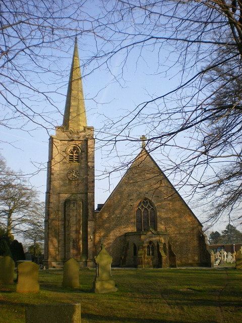
In the village are the Anglican Church of St Leonard, a primary school, and a community centre. According to the 2001 census it had a population of 379. The parish is the officially recognised address of Samlesbury Aerodrome.
References
Balderstone, Lancashire Wikipedia(Text) CC BY-SA