
Topo map USGS Bald Hills Country United States of America | Elevation 705 m | |
 | ||
Similar Redwood Creek, Lady Bird Johnson Grove, Howland Hill Road, Jedediah Smith Redwood, Thomas H Kuchel Visitor Ce | ||
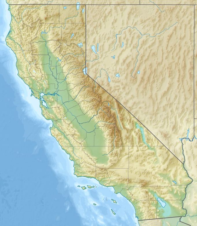
The Bald Hills are a range of mountains, in Humboldt County, California. The Bald Hills lie south of the Klamath and Trinity Rivers, between those rivers and Redwood Creek. The valleys at their feet and their lower slopes are covered by redwood forests but their summits are "bald", lacking woodland and instead are covered by meadows.
Map of Bald Hills, California, USA
These hills gave their name to the Bald Hills War fought between the local Indian tribes among these hills and the forces of local settler militia, California State Milita and California Volunteers and United States Army from 1858 to 1864.
References
Bald Hills (Humboldt County) Wikipedia(Text) CC BY-SA