
Time zone CST (UTC-6) Area 110.8 km² Local time Tuesday 3:24 PM | Established November 6, 1906 Elevation 195 m Population 334 (2010) | |
 | ||
ZIP codes 61442, 61453, 61469, 61476 Weather 21°C, Wind S at 19 km/h, 67% Humidity | ||
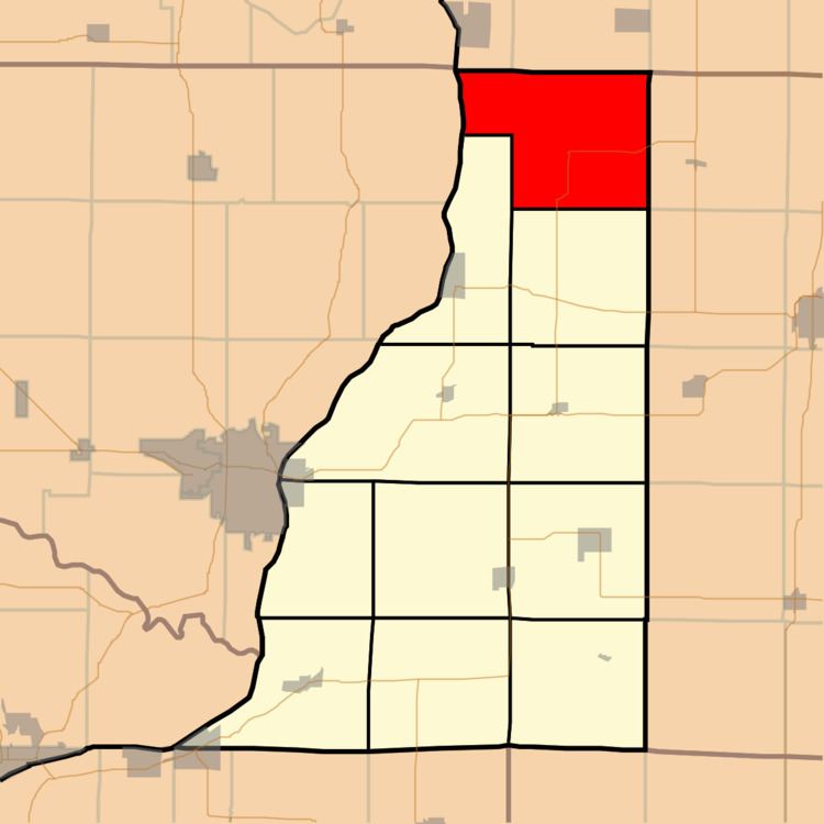
Bald Bluff Township is one of eleven townships in Henderson County, Illinois, USA. As of the 2010 census, its population was 334 and it contained 159 housing units.
Contents
- Map of Bald Bluff Township IL USA
- Geography
- Unincorporated towns
- Cemeteries
- Airports and landing strips
- School districts
- Political districts
- References
Map of Bald Bluff Township, IL, USA
Geography
According to the 2010 census, the township has a total area of 42.78 square miles (110.8 km2), of which 41.99 square miles (108.8 km2) (or 98.15%) is land and 0.79 square miles (2.0 km2) (or 1.85%) is water.
Unincorporated towns
(This list is based on USGS data and may include former settlements.)
Cemeteries
The township contains Belmont Cemetery.
Airports and landing strips
School districts
Political districts
References
Bald Bluff Township, Henderson County, Illinois Wikipedia(Text) CC BY-SA