
Country India District South 24 Parganas Vehicle registration WB Elevation 6 m Population 5,251 (2011) | State West Bengal Time zone IST (UTC+5:30) Website s24pgs.gov.in Local time Wednesday 2:15 AM | |
 | ||
Weather 21°C, Wind W at 2 km/h, 84% Humidity | ||
Balarampur is a census town in Budge Budge I CD Block under Budgebudge police station of Alipur sadar subdivision in South 24 Parganas district in the state of West Bengal, India.
Contents
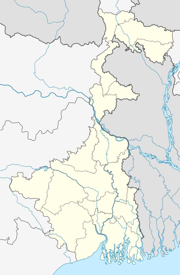
Map of Balarampur, West Bengal
Geography
Balarampur is located at 22.33°N 88.30°E / 22.33; 88.30. It has an average elevation of 6 metres (20 feet).
Demographics
As per 2011 Census of India Balarampur had a total population of 5,251, of which 2,689 (51%) were males and 2,562 (49%) were females. Population below 6 years was 524. The total number of literates in Balarampur was 3,755 (79.44 % of the population over 6 years).
The following Municipalities and Census Towns in South 24 Parganas district were part of Kolkata Urban Agglomeration in 2011 census: Maheshtala (M), Joka (CT), Balarampur (CT), Chata Kalikapur (CT), Budge Budge (M), Nischintapur (CT), Uttar Raypur (CT), Pujali (M), and Rajpur Sonarpur (M).
As of 2001 India census, Balarampur had a population of 4710. Males constitute 51% of the population and females 49%. Balarampur has an average literacy rate of 64%, higher than the national average of 59.5%; with 56% of the males and 44% of females literate. 13% of the population is under 6 years of age.