
Population (2010) 1,616 Local time Tuesday 9:12 PM | Area 4.65 km² | |
 | ||
Intercommunality Charleville-Mézières / Sedan Weather 3°C, Wind S at 13 km/h, 87% Humidity | ||
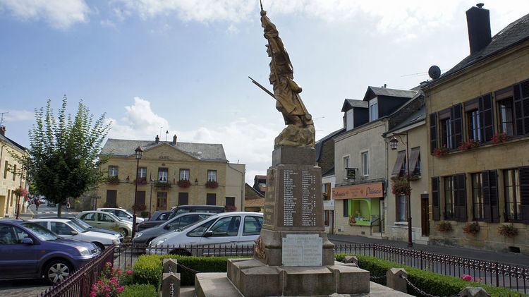
Balan is a French commune in the Ardennes department in the Grand Est region of northern France.
Contents
- Map of Balan France
- Geography
- History
- Administration
- Demography
- Civil heritage
- Notable people linked to the commune
- References
Map of Balan, France
The inhabitants of the commune are known as Balanais or Balanaises.
The commune has been awarded three flowers by the National Council of Towns and Villages in Bloom in the Competition of cities and villages in Bloom.
Geography
Balan is located just east of Sedan and north-east of Bazeilles. Access to the commune is by the D8043A road from Sedan which continues south-east to Bazeilles. The D17 also passes through the town and continues east to Rubécourt-et-Lamécourt. The Route nationale N43 (E46) highway passes through the commune with the nearest exit being Exit 3 just south-east of the commune. Much of the central area of the commune is urban with the northern part farmland and some forest.
The Meuse river forms the south-western border of the commune as it flows north through Sedan.
History
From 1560 to 1642 Balan was part of the Principality of Sedan.
Administration
List of Successive Mayors
(Not all data is known)
Demography
In 2010 the commune had 1,616 inhabitants. The evolution of the number of inhabitants is known from the population censuses conducted in the commune since 1793. From the 21st century, a census of communes with fewer than 10,000 inhabitants is held every five years, unlike larger communes that have a sample survey every year.
Sources : Ldh/EHESS/Cassini until 1962, INSEE database from 1968 (population without double counting and municipal population from 2006)
Civil heritage
The commune has several buildings and sites that are registered as historical monuments: