
Coat of arms Flag Area 9.94 km² Number of airports 1 | Local time Tuesday 10:34 PM | |
 | ||
Municipal district Borovsky Municipal District Urban settlement Balabanovo Urban Settlement Weather 3°C, Wind S at 18 km/h, 87% Humidity | ||
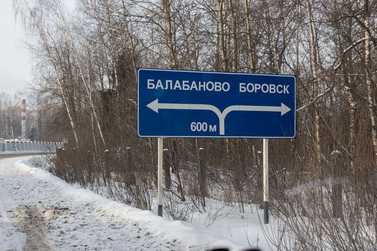
Balabanovo (Russian: Балаба́ново) is a town in Borovsky District of Kaluga Oblast, Russia, located on the Protva River 76 kilometers (47 mi) northeast of Kaluga, the administrative center of the oblast. Population: 26,337 (2010 Census); 23,312 (2002 Census); 19,139 (1989 Census).
Contents
- Map of Balabanovo Kaluzhskaya Oblast Russia
- History
- Administrative and municipal status
- Transportation
- References
Map of Balabanovo, Kaluzhskaya Oblast, Russia
History
It was first mentioned in the early 17th century as a village. It grew due to the construction of the Moscow–Bryansk railway in the early 20th century; Balabanovo railway station was opened in 1899. It was granted town status in 1972.
Administrative and municipal status
Within the framework of administrative divisions, Balabanovo is subordinated to Borovsky District. As a municipal division, the town of Balabanovo is incorporated within Borovsky Municipal District as Balabanovo Urban Settlement.
Transportation
The town is served by the Yermolino Airport.