
Country Turkey Elevation 1,310 m (4,300 ft) Postal code 06xxx Area 2,530 km² Area code 0312 | Region Central Anatolia Time zone EET (UTC+2) Licence plate 06 Local time Wednesday 4:02 PM Province Ankara Province | |
 | ||
Weather 14°C, Wind SE at 13 km/h, 32% Humidity | ||
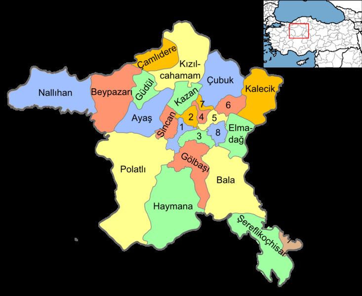
Bala is a town and district of Ankara Province in the Central Anatolia region of Turkey, 67 km south-east of the city of Ankara. According to 2000 census, population of the district is 19,426 of which 8,506 live in the urban center of Bala. The district covers an area of 2,563 km2 (990 sq mi), and the average elevation is 1,310 m (4,298 ft).
Contents
Map of Bala, 06720 Bal%C3%A2%2FAnkara, Turkey
Bala stands on a high plain, summers are hot, winters are cold and snowy. The town of Bala is small but busy with shops and light manufacturing workshops, the surrounding countryside is used for farming, especially grains and sunflower seeds. Recently Ankara's wealthier citizens have begun building luxury housing in some villages of Bala. However the town stands on a fault line and experiences many earthquakes.
Places of interest
The forest of Beynam and the Kesikköprü reservoir are two of Ankara's most popular picnic spots.