
3-digit postal code prefix 892 Local time Tuesday 8:03 PM | Time zone WAT (UTC+1) Area 1,366 km² | |
 | ||
Weather 29°C, Wind NE at 8 km/h, 7% Humidity | ||
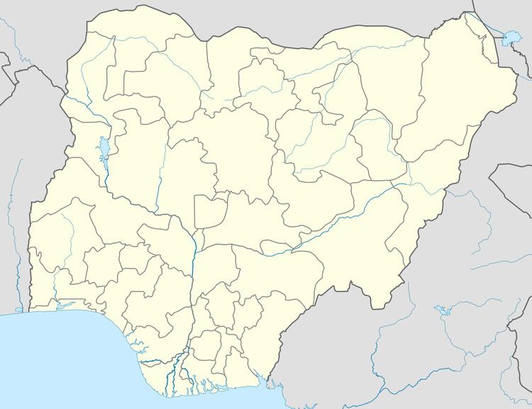
Bakura is a Local Government Area in Zamfara State, Nigeria. Its headquarters are in the town of Bakura at12°42′37″N 5°52′23″E in the north-east of the LGA.
It has an area of 1,366 km² and a population of 186,905 at the 2006 census.
The postal code of the area is 892.
References
Bakura, Nigeria Wikipedia(Text) CC BY-SA