
Country United States County Barbour GNIS feature ID 154970 Area 7.125 km² Local time Tuesday 11:59 AM | State Alabama Time zone Central (CST) (UTC-6) Elevation 163 m Population 269 (2013) Area code 334 | |
 | ||
Weather 18°C, Wind S at 11 km/h, 90% Humidity | ||
Bakerhill or Baker Hill is a town in Barbour County, Alabama, United States, near Eufaula. According to the 2010 U.S. Census, the town had a population of 279. Although it existed as an unincorporated village since before 1860, the town was officially incorporated in 1997.
Contents
Map of Bakerhill, AL 36027, USA
Geography
Bakerhill is located at 31.88 degrees north, 85.15 degrees west (31.88495, -85.15390).
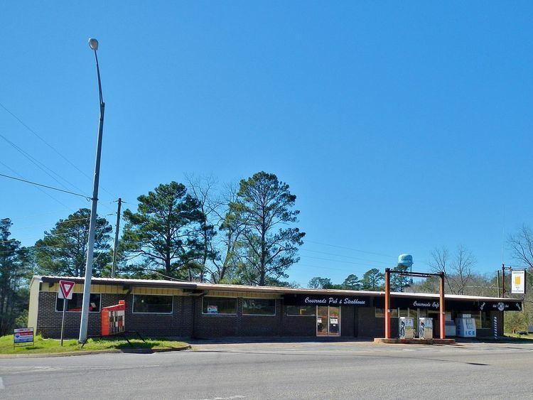
The surrounding countryside is mostly rolling hills covered in mostly in pine forest. Small-scale logging, as well as bauxite mining and minor livestock raising activities account for most of the local area's business activities. The town also, as of 2009, includes two gas stations as well as a grill & bar and a small, family owned and operated deer processing business. There is also a small feed mill.
The soil is mostly reddish clay and sand. Numerous Native American artifacts have been discovered there.