
ZIP codes 46151, 47433 Elevation 214 m Local time Tuesday 12:48 PM | Time zone Eastern (EST) (UTC-5) GNIS feature ID 0453094 Area 40.56 km² Population 717 (2010) | |
 | ||
Weather 12°C, Wind S at 19 km/h, 93% Humidity | ||
Baker Township is one of fourteen townships in Morgan County, Indiana, United States. As of the 2010 census, its population was 717 and it contained 274 housing units. The township contains Morgan–Monroe State Forest.
Contents
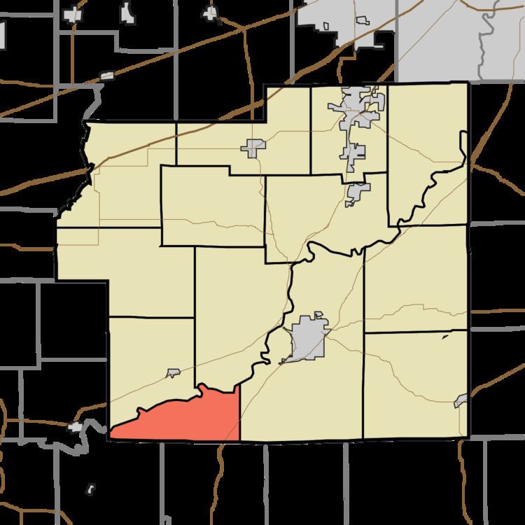
- Map of Baker Township IN USA
- Geography
- Unincorporated towns
- Cemeteries
- Major highways
- School districts
- Political districts
- References
Map of Baker Township, IN, USA
Geography
According to the 2010 census, the township has a total area of 15.66 square miles (40.6 km2), of which 15.41 square miles (39.9 km2) (or 98.40%) is land and 0.24 square miles (0.62 km2) (or 1.53%) is water.
Unincorporated towns
(This list is based on USGS data and may include former settlements.)
Cemeteries
The township contains Sodom Cemetery.
Major highways
School districts
Political districts
References
Baker Township, Morgan County, Indiana Wikipedia(Text) CC BY-SA