
 | ||
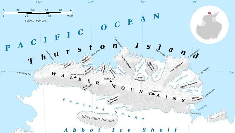
Baker Knob (72°30′S 96°1′W) is a small rounded coastal elevation which has an abrupt east face, standing 2 nautical miles (4 km) north of Harrison Nunatak at the east end of Thurston Island. It was named by the Advisory Committee on Antarctic Names after T.W. Baker, a Photographer's Mate in the Eastern Group of U.S. Navy Operation Highjump, which obtained aerial photographs of Thurston Island and adjacent coastal areas, 1946–47.
Maps
References
Baker Knob Wikipedia(Text) CC BY-SA