 | ||
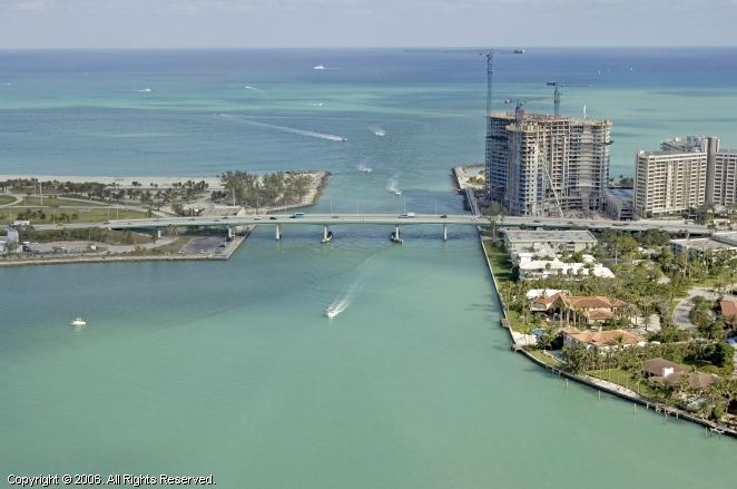
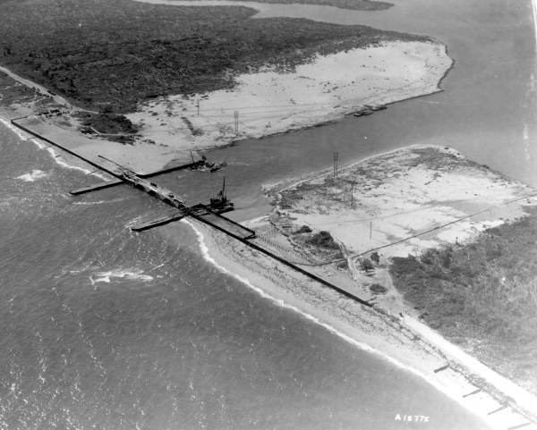
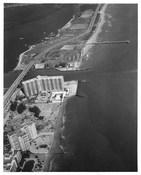
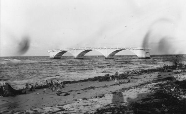
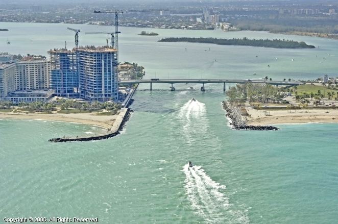
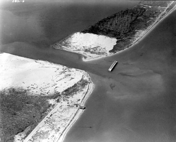
Baker's Haulover Inlet is a man-made channel in Miami-Dade County, Florida connecting the northern end of Biscayne Bay with the Atlantic Ocean, at coordinates 25°53′59″N 80°07′26″W. The inlet was cut in 1925 through a narrow point in the sand between the cities of Bal Harbour and Sunny Isles. It is the location of an official nude beach, recreation areas and marina in the 99-acre Haulover Park. A fixed bridge carries SR A1A across the inlet.
The name is reported to have appeared on maps as early as 1823.
There is a State of Florida Historical Landmark Marker (over 50 years old) at the original Lighthouse Dock site dedicated on February 21, 2004, to the first charter-boat captains at the 1926-1951 dock. It is the only marker in the State of Florida for a fishing dock.