
Elevation 4,508 m | Prefecture Qamdo Prefecture Time zone +8 | |
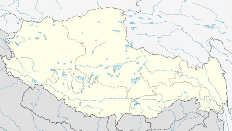 | ||
Country People's Republic of China Nearby settlements (distance) Qumdo 21.6 mi (35 km)Nagjog 14.9 mi (24 km)Lingza 20.2 mi (33 km)Ngomdo 23.4 mi (38 km)Medogdeng 16 mi (26 km)Gyari 29.9 mi (48 km) Weather -4°C, Wind W at 10 km/h, 37% Humidity | ||
This page appears to confuse two different Tibetan towns, one in the eastern TAR and another in Sichuan province. I don't have information to fix it... it would be great if someone else could do so.
Baimai (Chinese: 八美; Pinyin: Bāměi) is a Township in Lhorong County, Qamdo Prefecture in the eastern Tibet Autonomous Region of the People's Republic of China. It lies at an altitude of 4,507 metres (14,787 ft) and is located some 48 kilometres (30 mi) west of the village of Gyari.
The population is around 590.
Sight
Bamei Town is situated in southeast of Daofu County of Garze Qiang and Tibetan Autonomous Prefecture of Sichuan Province. Within the beautiful Bamei Town, there you can enjoy the spectacular scenery of Bamei Stone Forest.
The magnificence of Bamei stone forest is as beautiful as the karst stone forest in South China, but it has its own uniqueness. From far away, the stone forest resembles numerous towering pagodas. While when getting close, you will find they are with their special shapes and postures. Because of the wind and weather conditions, these stones are changeable in color in different seasons. They are in light gray and light blue in dry seasons, but are in pale ink colors in wet seasons. Whatever their colors and shapes are, the stone forest is splendor setting with the vast grassland, towering snow mountains and the charming Tibetan houses.