
Country Canada Constituted January 1, 1955 Area 536.3 km² Local time Tuesday 9:40 AM | Settled 1840 Time zone EST (UTC−5) Population 419 (2011) Province Québec | |
 | ||
Weather -8°C, Wind SW at 18 km/h, 70% Humidity | ||
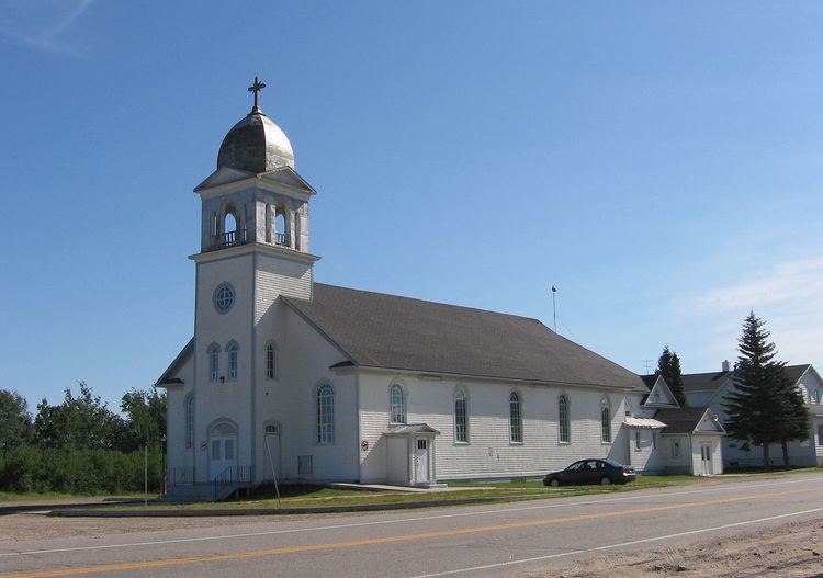
Baie-Trinité (2011 Population 419) is a village in the Manicouagan Regional County Municipality in the Côte-Nord region of Quebec, Canada. It is located on the coast of the Gulf of Saint Lawrence at the mouth of the Trinity River (French: Rivière de la Trinité), a salmon river which flows through the village. The major economic sectors are forestry and fisheries.
Contents
Map of Baie-Trinit%C3%A9, QC, Canada
The village and municipality are named after the small Trinity Bay into which the Trinity River drains. The river's name may be attributed to Jacques Cartier who sailed by this river on Trinity Sunday in 1536. The first permanent settlers came c. 1840, and in 1898, the Baie-de-la-Trinité Mission was established.
Demographics
Population trend:
Private dwellings occupied by usual residents: 209 (total dwellings: 247)
Mother tongue: