
Area code(s) +53-82 Area 784 km² Local time Tuesday 9:18 AM | Time zone EST (UTC-5) Climate Af Elevation 25 m Population 45,968 (2004) | |
 | ||
Weather 24°C, Wind E at 13 km/h, 75% Humidity | ||
Bahía Honda is a municipality and town in the Artemisa Province of Cuba. Before 2011 belonged to Pinar del Río Province.
Contents
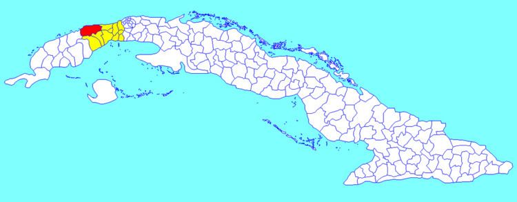
Map of Bahia Honda, Cuba
Overview
It is located on the northern shore of the island, in an inlet of the Florida Straits, 70 km (43 mi) west of Havana. The sheltered bay that gives the name of the municipality contains an industrial port. It marks the eastern extend of the Colorados Archipelago.
Bahía Honda was one of the naval bases leased to the US under the Platt Amendment, but abandoned in 1912 in turn for an expansion of the area leased around Guantánamo Bay.
Demographics
In 2004, the municipality of Bahía Honda had a population of 45,968. With a total area of 784 km2 (303 sq mi), it has a population density of 58.6/km2 (152/sq mi).
Climate
This area typically has a pronounced dry season, but average monthly precipitation does not get lower than 68 mm (in March) in Bahía Honda, making this a more humid locality than many others in the region. According to the Köppen Climate Classification system, Bahía Honda, Cuba has a tropical rainforest climate, abbreviated "Af" on climate maps.