
Intercommunality Sud de Seine Area 4.19 km² Local time Tuesday 11:38 AM | Region Île-de-France Time zone CET (UTC+1) Population 38,592 (2007) | |
 | ||
Weather 4°C, Wind SW at 18 km/h, 91% Humidity | ||
Bagneux is a commune in the southern suburbs of Paris, France. It is located 7.7 km (4.8 mi) from the center of Paris.
Contents
- Map of 92220 Bagneux France
- Nearest places
- Transport
- Education
- Sites of interest
- Twin towns Sister cities
- References
Map of 92220 Bagneux, France
Nearest places
Transport
Bagneux is served by Bagneux station on Paris RER line B. This station is located at the border between the commune of Bagneux and the commune of Cachan, on the Cachan side of the border.
Education
Primary schools include:
The commune has four junior high schools (collèges): Henri-Barbusse, Joliot-Curie, Romain-Rolland, and École les Jacquets.
The commune has one public senior high school, Lycée professionnel Léonard-de-Vinci. Other public high schools in the area:
There is also a private junior and senior high school, Groupe scolaire Saint-Gabriel.
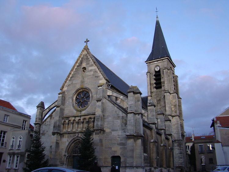
Sites of interest
Twin towns – Sister cities
Bagneux, Hauts-de-Seine is twinned with:
References
Bagneux, Hauts-de-Seine Wikipedia(Text) CC BY-SA