
District Medinipur Area 10 km² | Time zone IST (UTC+5:30) | |
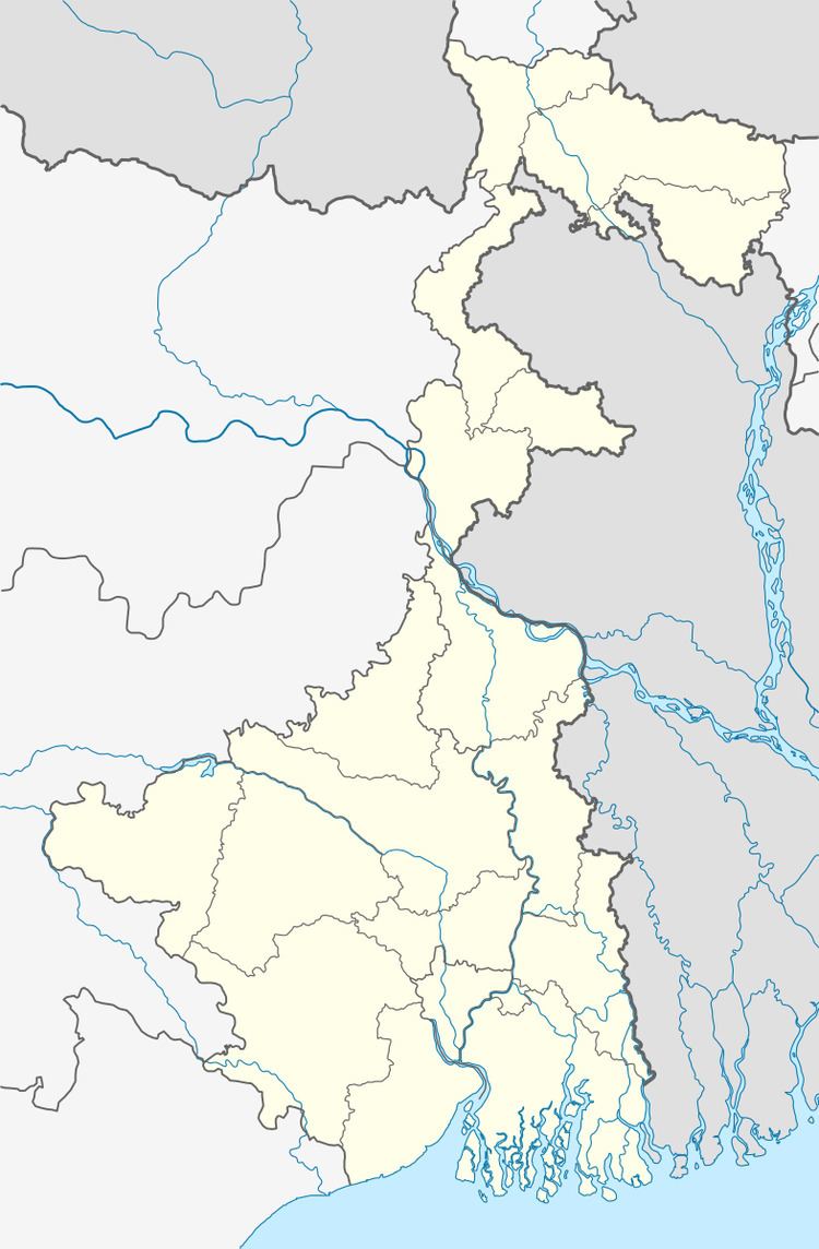 | ||
Bagmari (বাগমারী) is a village in Garmal 10–I community development block under the Salboni of Paschim Medinipur district in the Indian state of West Bengal. Midnapore Railway station is the nearest important station about 10 km from the village.
Contents
- Demography
- Economy
- Garmal 10 Bagmari Pry Pin code 721129
- Garmal 10 Bagmari Pry Pincode 721129 address
- Pincode 721129 details
- Geographic details and Stats for 721129
- Climate
- Transportation
- References
It was established in 1955 and it is managed by the Department of Education. It is located in rural area. It is located in SALBONI block of Paschim Medinipur district of West Bengal. The school consists of Grades from 1 to 4. The school is co-educational and it has an attached pre-primary section. However; it does not have separate teachers for pre-primary section. The school is non-residential in nature and is not using school building as a shift-school. During the previous academic year; the school functioned for 245 days. It had 2 academic inspections and was 3 times visited by the CRC Coordinator during the previous academic year. It was not visited by the BRC Coordinator. Â Bengali is the medium of instructions in this school. This school is approachable by all-weather road. In this school academic session starts in January. The school is approachable by all-weather road. The school has implemented continuous & comprehensive evaluation (CCE). The school has a boundary wall. The teachers are professionally qualified. The school has a regular Head Master/Teacher. The school was inspected during the previous academic year. The school was visited by the CRC Coordinator during the previous academic year. There are female teachers in the school. The school has got girls' toilet. The school has a comfortable Pupil-Teacher Ratio (PTR). The school is providing Mid-day meal.
Demography
Bagmari is a sparsely populated place with majority of population being adivasis.
Economy
The main occupation of the people here is cultivation, sharecropping and selling disposable plates made of leaves. Most people do not own land but work on others fields. The region is dry and there are but a single harvest each year. At other times people work as daily labor, collect and sell leaves and wood from forest etc. Over 75% of the households own land given to them under the Land reforms programme of the Left Front Government between the years 1977 and 2002. But income poverty exists.
Garmal 10, Bagmari Pry. Pin code 721129
Garmal 10, Bagmari Pry. Pincode is 721129. All mails and posts to Garmal 10, BagmariPry. locality will therefore bear the Pincode 721129. Since each postal office within a particular zone is recognized with a Pincode, Many locations within the city can have the same Pincode, also has many areas with the same Pincode but also have other Pincode for other places within boundary.Garmal 10, Bagmari Pry. Pincode 721129 address
Garmal 10, Bagmari Pry. is located in Paschim Medinipur West Bengal. The map coordinates of latitude and longitude for 721129 are , as shown in the map below. So the address for postal delivery to 721129 will reach to the postal office residing in this from which it will be delivered to the corresponding address in the locality as addressed in the post. If Garmal 10, Bagmari Pry. is a remote area or hilly area or geographically difficult to access or is facing any hard weather conditions, the delivery to 721129 may see delay in processing.Pincode 721129 details
Garmal 10, Bagmari Pry. 721129 has various places like schools, hospitals, roads, parks, markets and food stalls. Some larger locality may have malls, theatres, hotels etc. Therefore when sending letters etc to residence within Garmal 10, Bagmari Pry. Pincode 721129 should be properly filled in so posts reach the destination without being misplaced. For localities sharing the same Pincode you may follow the link Top Searched Nearby Pincodes. For popular postal destinations worldwide you may follow the link All Countries Postal Zip Code Finder.Geographic details and Stats for 721129
More details of Pincode 721129 are details pertaining to the population of 721129. The 721129 is located in Paschim Medinipur, West Bengal, India. The capital of India is New Delhi. The country India is situated in continent Asia. The ISO code for the country India in 2 char is IN and 3 char is IND. The population for the country India is 1173108018. The geographical area covered as land is 3,287,590 km2. The population density is 356.83. The current time for 721129/Garmal 10, Bagmari Pry. is .Climate
Moderate. But Ghatal is flood-prone area and flooded by the Shilaboti, Jhumi, Kethiya, Kansaboti and Rupnarayan River. Rice, Potato and other Vegetable farming are the main occupation of the people of this Subdivision.
Transportation
Ghatal is well connected by roads/highways with nearby cities like Kolkata, Howrah, Midnapore, Kanthi, Digha, Burdwan, Bankura. For local transportation Bus, Minibus, Cycle-rikshaws are available. Midnapore Railway Station is the nearest railway station.