
Local time Tuesday 10:34 AM Area code +66 | Elevation 1,092 m Population 2,000 (2007) | |
 | ||
Time zone South African Standard Time (UTC+1) Weather 22°C, Wind NE at 13 km/h, 92% Humidity | ||
Bagani (1.093 m above sea level) is a town on the south-western banks of the Okavango River in the Kavango East Region, Namibia, 200 km east of Rundu and near the Popa Falls on the Okavango River. Bagani has a population of around 2.000 inhabitants and is homestead of the local Mbukushu kings.
Contents
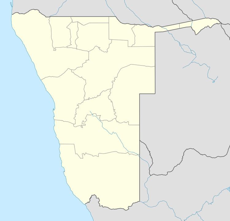
Map of Bagani, Namibia
On the opposite, north-eastern banks of the river lies Bufalo in Caprivi and the two towns are linked via a nearby border post.
History
The history of Bagani (Mbukushu: "the old place") is closely linked with the history of the Mbukushu people, the easternmost of the five kingdoms of the Kavango people. Successor of king Mayavero I. became fumu Mbambo. Bagani was founded in 1820 and 1880.
Since independence of Namibia in 1990 and in particularly since an ongoing decentralisation policy, Bagani has gained some investments.
Economy and traffic
Compared to many other Villages in Namibia, Bagani is still underdeveloped. Like many Villages in Northern Namibia, Bagani suffered from a bad infrastructure and the political unrest in neighboring Angola. Until then, the economy of Bagani was characterized by small farmers with only few general services: next to a school, a small clinic and Bagani had no other shops.