Total islands 1 Highest elevation 220 m (720 ft) Elevation 220 m | Adjacent bodies of water Solomon Sea Major islands Bagaman Highest point Mount Bagaman Area 7.45 km² | |
 | ||
Bagaman Island is an island of Papua New Guinea, part of the Calvados Chain within the Louisiade Archipelago. Misima language is the native language on the island.
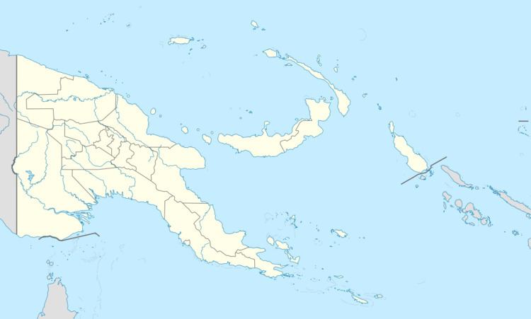
Map of Bagaman Island, Papua New Guinea
References
Bagaman Island Wikipedia(Text) CC BY-SA
