
Capital Kayes Area 20,220 km² Population 233,926 (2009) | Time zone GMT (UTC+0) Local time Tuesday 8:12 AM | |
 | ||
Weather 24°C, Wind N at 2 km/h, 22% Humidity Points of interest Kouroufing National Park, Bafing National Park, Wongo National Park | ||
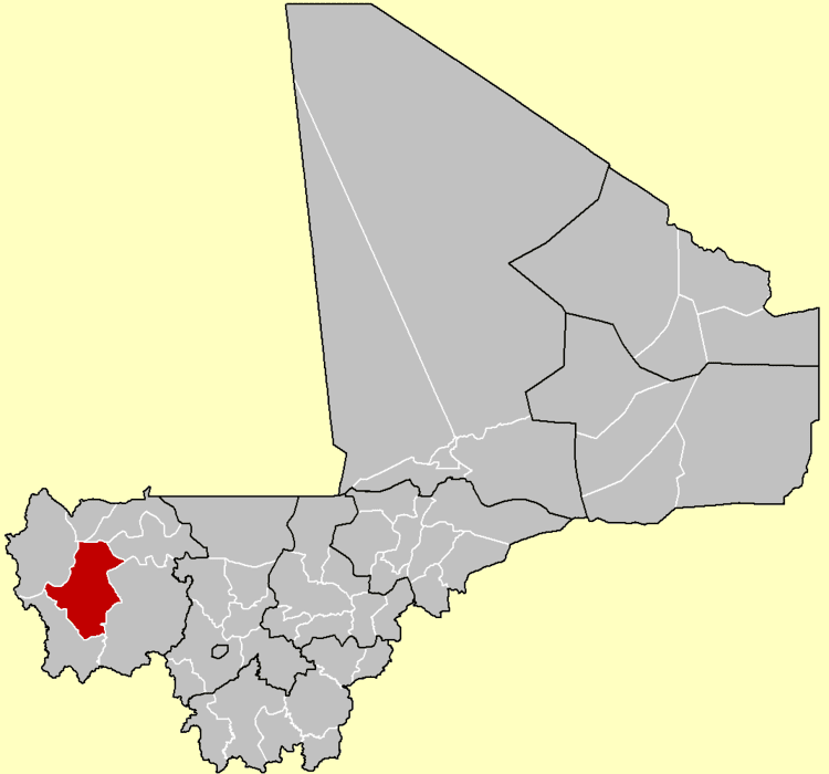
Bafoulabé Cercle is an administrative subdivision of the Kayes Region of Mali. The administrative center (chef-lieu) is the town of Bafoulabé. In the 2009 census the population of the cercle was 233,926.
Map of Bafoulabe, Mali
The cercle is divided into thirteen communes:
References
Bafoulabé Cercle Wikipedia(Text) CC BY-SA