
Length 760 km | ||
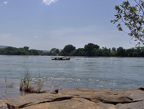 | ||
The Bafing River runs through Guinea and Mali and is about 760 kilometres (470 mi) long. It joins with the Bakoy River at Bafoulabé to form the Sénégal River in the Kayes Region of western Mali. In Manding languages, Bafing signifies 'black river' and Bakoye 'white river'. The Bafing forms part of the international border between Guinea and Mali.
Map of Bafing, Mali
From 1895 to 1898 the railway bridge near the town of Mahina, designed by Gustave Eiffel, was built.
The Manantali hydroelectric dam, is located on the Bafing River 90 km upstream of Bafoulabé. It forms the largest artificial lake in Mali, Lake Manantali. The dam retains 11.3 km3 of water which is used to power the turbines during the dry season. As a result, the intensity of the maximum flood downstream of the dam has been reduced but during the dry season a flow of between 150 m3/s and 200 m3/s is maintained.