
OS grid reference SX 235 866 | Postcode district PL15 8 | |
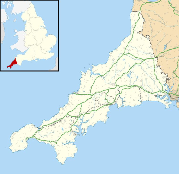 | ||
Badgall (Cornish: Bos Galla, meaning Calla's dwelling) is a hamlet in the parish of Laneast, Cornwall, England, United Kingdom (where the 2011 Census population was included). It is situated 6 miles (9 kilometres) north-east of Launceston at grid reference SX 235 866.
Map of Badgall, Launceston, UK
References
Badgall Wikipedia(Text) CC BY-SA