
Vehicle registration AS-10 Population 11,291 (2001) ISO 3166 code ISO 3166-2:IN | Time zone IST (UTC+5:30) Elevation 16 m Local time Tuesday 6:20 AM University Nabin Chandra College | |
 | ||
Weather 17°C, Wind E at 3 km/h, 78% Humidity | ||
Worlds largest gathering to welcome a train at badarpur assam india
Badarpur (Pron:/ˌbʌdəˈpʊə/) is a town and a town area committee in Karimganj district in the state of Assam, India.
Contents
- Worlds largest gathering to welcome a train at badarpur assam india
- Map of Badarpur Assam
- Geography
- Demographics
- Politics
- References
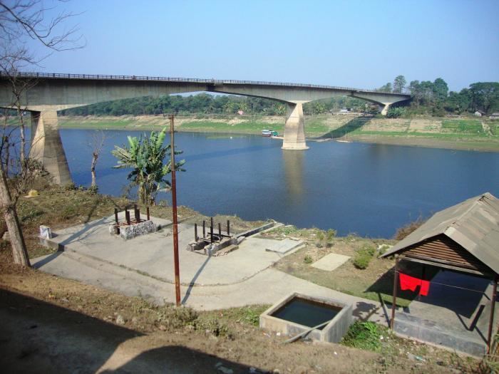
Map of Badarpur, Assam
Geography
Badarpur is located at 24.9°N 92.6°E / 24.9; 92.6. It has an average elevation of 16 metres (52 feet).
Demographics
As of 2001 India census, Badarpur had a population of 11,291. Males constitute 52% of the population and females 48%. Badarpur has an average literacy rate of 84%, higher than the national average of 79.5%. 10% of the population is under 6 years of age. As of 28 March 2016, the population of Badarpur stands around 1,50,000.
Politics
Badarpur is part of Karimganj (Lok Sabha constituency). At present the MLA of Badarpur is Jamal Uddin Ahmed.
References
Badarpur, Assam Wikipedia(Text) CC BY-SA