
Area 9.58 km² | Local time Tuesday 11:13 PM | |
 | ||
Weather 11°C, Wind SE at 10 km/h, 59% Humidity | ||
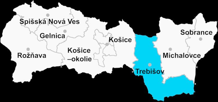
Bačka (Hungarian: Bacska ) is a village and municipality in the Trebišov District in the Košice Region of eastern Slovakia.
Contents
Map of 076 84 Ba%C4%8Dka, Slovakia
History
In historical records the village was first mentioned in 1214 as Bocskay family’s property. It was recorded in 1214 as Becheka, in 1299 as Bachka, in 1323 Buchka, in as 1332 Bachka) Until 1918 and from 1939 to 1944 it belonged to Hungary.
Geography
The village lies at an altitude of 104 metres and covers an area of 9.578 km². It has a population of about 600 people.
Ethnicity
The village is 100% Hungarian.
Facilities
The village has a public library
References
Bačka (village) Wikipedia(Text) CC BY-SA