
Length 674.5 km | ||
 | ||
East end: Araranguá, Santa Catarina West end: São Borja, Rio Grande do Sul | ||
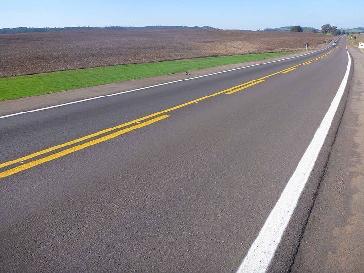
BR-285 is an east-west Brazilian federal highway that starts in Araranguá, Santa Catarina, and crosses the Gaucho range and highlands. It stretches approximately 674.5 km, passing through cities such as Vacaria, Lagoa Vermelha, Passo Fundo, Carazinho, Ijuí e São Luiz Gonzaga, and ends in São Borja, Rio Grande do Sul, on the border of Argentina.
Map of BR-285, Brazil
References
BR-285 Wikipedia(Text) CC BY-SA