
Length 49.1 km | ||
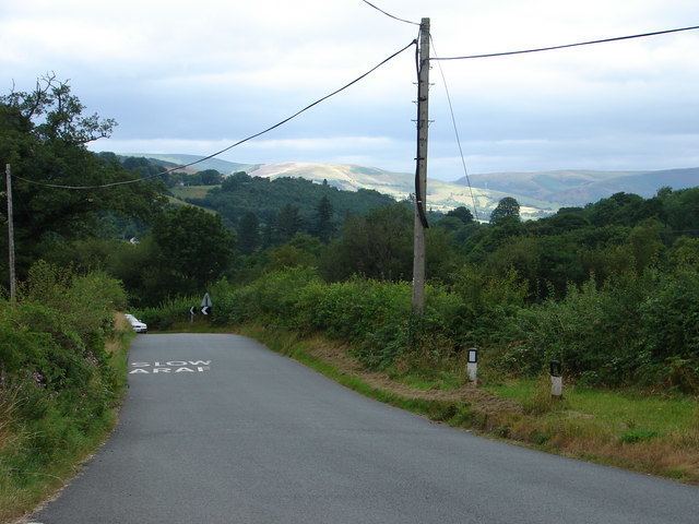 | ||
The B4518 road is a road in Powys, central Wales, with a total length of 30.5 miles (49.1 km). It begins at 52°18′5″N 3°30′41″W in Rhayader near the junction of the A470 road and the A44 road and leads eventually to the A470 again at Llanbrynmair at 52°36′42″N 3°37′38″W. En route going north from Rhayader it passes through the following settlements: St Harmon, Pant-y-Dwr, Tylwch, Llanidloes (where it crosses the A470 again), Staylittle, Pont Crugnant, Pennant, Bont Dolgadfan, Llan and Plas Esgair. It passes through the Clywedog Valley and Clywedog Reservoir, built in 1964.
Map of B4518, Llanidloes SY18, UK
References
B4518 road Wikipedia(Text) CC BY-SA