
 | ||
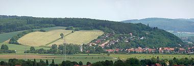
The Bückeberg (160 m) is a hill that lies south of Hamelin on the eastern perimeter of the Weser village of Hagenohsen which is on the right-hand, eastern bank of the River Weser in central Germany.
Map of Bucke-Berg, 31860 Emmerthal, Germany
The crest and the other slopes of the Bückeberg are covered with mixed forest. From the Weser village of Latferde further south a local road runs over the Bückeberg to Hagenohsen. From 1933 to 1937 the Reich Harvest Thanksgiving Festival held by the Nazis took place on a large, artificially-levelled field on the western side of the Bückeberg. The municipality of Emmerthal has put forward a land use plan for the terrain of the Reich harvest festival.
References
Bückeberg (Hagenohsen) Wikipedia(Text) CC BY-SA