Population Uninhabited | ||
 | ||
Béchervaise Island is the largest of the Flat Islands, and is located just west of Stinear Island in Holme Bay, Mac. Robertson Land. It is one of several plotted as a part of "Flatøy" ("flat island") by Norwegian cartographers from air photos taken by the Lars Christensen Expedition, 1936–37, but was found to be a separate island by the Australian National Antarctic Research Expeditions in 1954 and named for John Béchervaise, officer in charge at Mawson Station in 1955 and 1959.
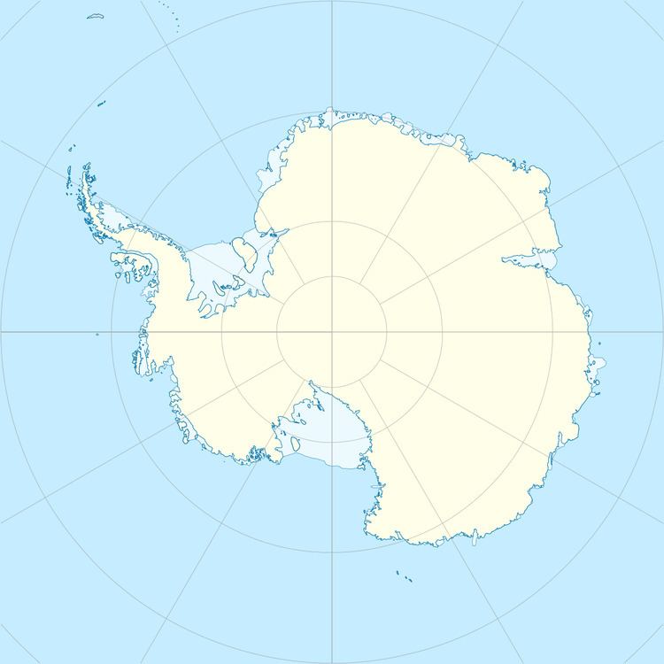
Map of B%C3%A9chervaise Island, Antarctica
References
Béchervaise Island Wikipedia(Text) CC BY-SA
