
District Herzogtum Lauenburg Time zone CET/CEST (UTC+1/+2) Area 6.5 km² Population 238 (31 Dec 2008) Dialling code 04542 | Postal codes 23881 Local time Thursday 5:01 PM Postal code 23881 | |
 | ||
Weather 6°C, Wind W at 19 km/h, 78% Humidity | ||
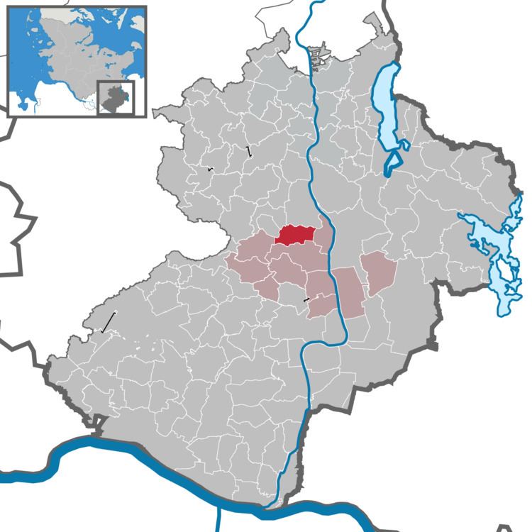
Bälau is a municipality in the Breitenfelde collective municipality (Amt) located in the Lauenburg district (Kreis) in southeastern Schleswig-Holstein, Germany.
Map of 23881 B%C3%A4lau, Germany
Bälau covers 6.50 square kilometers (1600 acres) which are mostly used for agriculture, with a relatively high proportion of forest. In addition to agricultural businesses, the village has a riding school and vacation apartments. It is a peaceful village, without a major road running through it, and a village green bordered by lime trees. Several well-preserved farmer's houses set the character for the village.
References
Bälau Wikipedia(Text) CC BY-SA