
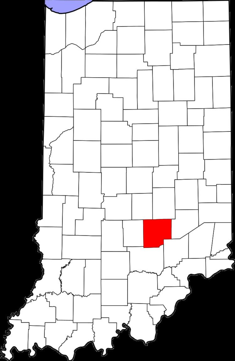
Country United States County Bartholomew FIPS code 18-03052 Elevation 182 m Local time Saturday 2:09 AM | State Indiana GNIS feature ID 430372 Zip code 47232 | |
 | ||
Weather -1°C, Wind E at 5 km/h, 63% Humidity | ||
Azalia is an unincorporated community in Sand Creek Township, Bartholomew County, Indiana.
Contents
Map of Azalia, IN 47232, USA
History
A post office was established at Azalia in 1833, and remained in operation until it was discontinued in 1934. It was named for the flowering shrub azalea.
Geography
Azalia is located at 39°05′30″N 85°50′50″W.
References
Azalia, Indiana Wikipedia(Text) CC BY-SA