
Area 21.67 km² | Intercommunality CCST Local time Friday 3:34 PM | |
 | ||
Region Bourgogne-Franche-Comté Canton Grancey-le-Château-Neuvelle Weather 13°C, Wind S at 35 km/h, 59% Humidity | ||
Avot is a French commune in the Côte-d'Or department in the Bourgogne-Franche-Comté region of eastern France.
Contents
Map of 21580 Avot, France
Geography
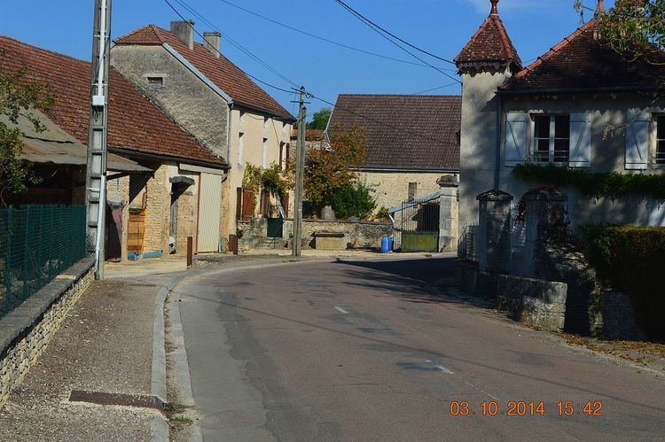
Avot is located some 40 km north by north-west of Dijon and 17 km west by north-west of Selongey. Access to the commune is by road D19 from Salives in the west which passes through the centre of the commune and the village before continuing east to join the D959 north of Marey-sur-Tille. The D19K goes north from the village to join the D112C east of Fraignot-et-Vesvrotte. Most of the commune is heavily forested with some small areas of farmland.
The Tille river flows through the heart of the commune from west to east then continues southwards to join the Saône near Les Maillys. The Creuse flows from the north of the commune and joins the Tille at the village.
Administration
List of Successive Mayors
(Not all data is known)
Demography
In 2010 the commune had 160 inhabitants. The evolution of the number of inhabitants is known from the population censuses conducted in the commune since 1793. From the 21st century, a census of communes with fewer than 10,000 inhabitants is held every five years, unlike larger communes that have a sample survey every year.
Sources : Ldh/EHESS/Cassini until 1962, INSEE database from 1968 (population without double counting and municipal population from 2006)