
From East Houston Street | ||
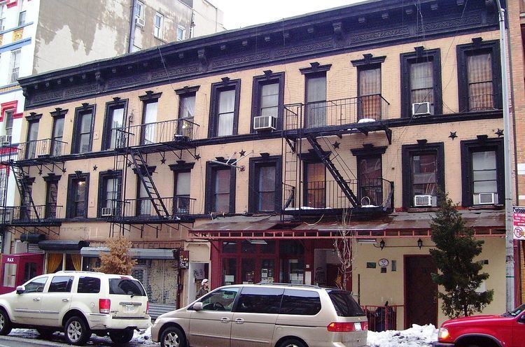 | ||
Avenue B is a north-south avenue located in the Alphabet City area of the East Village neighborhood of Manhattan, New York City, east of Avenue A and west of Avenue C. It runs from Houston Street to 14th Street, where it continues into a loop road in Stuyvesant Town, to be connected with Avenue A. Below Houston Street, Avenue B continues as Clinton Street to South Street. It is the eastern border of Tompkins Square Park.
Contents
- Map of Avenue B New York NY 10009 USA
- History
- East End Avenue
- Landmarks
- Transportation
- In popular culture
- References
Map of Avenue B, New York, NY 10009, USA
History
The street was created by the Commissioners' Plan of 1811 as one of 16 north-south streets specified as 100 feet (30 m) in width, including 12 numbered avenues and four designated by letter located east of First Avenue.
East End Avenue
On the Upper East Side, Avenue B reappears as East End Avenue; principally residential in character, it only runs from East 79th Street to East 90th Street through the Yorkville neighborhood. It was called Avenue B under the original Commissioners' Plan of 1811, but is no longer given that designation. Carl Schurz Park, the location of Gracie Mansion, is adjacent to the avenue at this point. In 1928, the New York City Board of Estimate ruled that development below East 84th Street was restricted to residential use.
Landmarks
Transportation
Currently, there is no bus that travels on Avenue B. The M9 bus formerly used this street from East Houston Street to 14th Street. The M9 now travels on Avenue C from Houston to 23rd Streets.