
Country United States GNIS feature ID 0766370 Area 235.4 km² Population 1,000 (2010) | FIPS code 29-02656 Elevation 247 m Local time Friday 1:57 AM | |
 | ||
Weather -2°C, Wind N at 11 km/h, 82% Humidity | ||
Auxvasse Township is one of eighteen townships in Callaway County, Missouri, USA. As of the 2010 census, its population was 1,000.
Contents
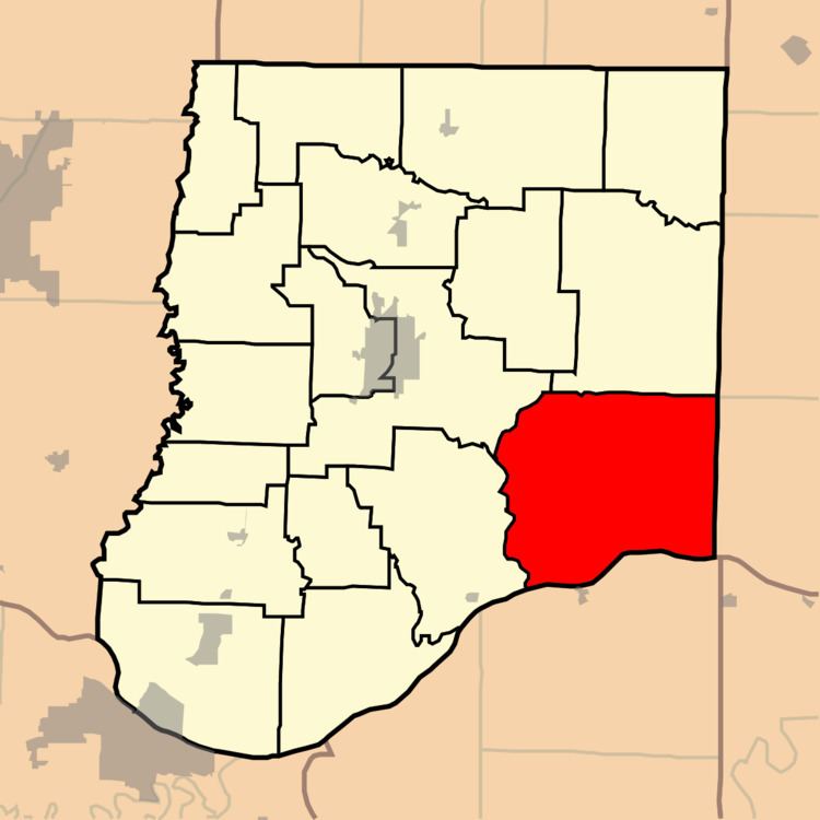
Map of Auxvasse Township, MO, USA
History
Auxvasse Township was founded in 1826. The township derives its name from Auxvasse Creek.
Geography
Auxvasse Township covers an area of 90.89 square miles (235.4 km2) and contains no incorporated settlements. It contains nine cemeteries: Atterberry, Garrett, Holiness, Lawrence, Liberty, Old Salem, Oliver, Saint Patricks and Washington.
The streams of Eagle Creek, Little Tavern Creek, Logan Camp Branch, Logan Creek, Means Branch, Meyers Branch, Mollie Dozier Chute, Mud Creek and Tavern Creek run through this township.
References
Auxvasse Township, Callaway County, Missouri Wikipedia(Text) CC BY-SA