
Country United States Time zone CST (UTC-6) Elevation 168 m Population 13,061 (2010) | Established November 6, 1849 ZIP codes 60447, 60450, 60481 Area 78.53 km² Local time Friday 1:37 AM | |
 | ||
Weather -3°C, Wind NW at 13 km/h, 64% Humidity Points of interest Des Plaines River, Aux Sable Access, Aux Sable Lock | ||
Aux Sable Township (T34N R8E) is one of seventeen townships in Grundy County, Illinois, USA. As of the 2010 census, its population was 13,061 and it contained 4,433 housing units.
Contents
- Map of Aux Sable Township IL USA
- Geography
- Cities towns villages
- Unincorporated towns
- Cemeteries
- Major highways
- Airports and landing strips
- Rivers
- Landmarks
- School districts
- Political districts
- References
Map of Aux Sable Township, IL, USA
Geography
According to the 2010 census, the township has a total area of 30.32 square miles (78.5 km2), of which 29.06 square miles (75.3 km2) (or 95.84%) is land and 1.26 square miles (3.3 km2) (or 4.16%) is water.
Cities, towns, villages
Unincorporated towns
(This list is based on USGS data and may include former settlements.)
Cemeteries
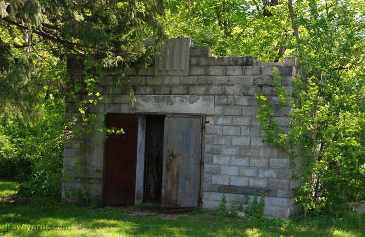
The township contains these three cemeteries: Aux Sable, Dresden and Saint Marys.
Major highways
Airports and landing strips
Rivers
Landmarks
School districts
Political districts
References
Aux Sable Township, Grundy County, Illinois Wikipedia(Text) CC BY-SA