Population Uninhabited | ||
 | ||
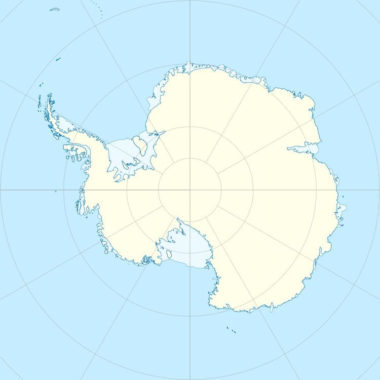
Austskjera is a group of rocks (skerries) in Antarctica, lying close to the coast about 9 kilometres (5 nmi) east of Cape Daly, 4 kilometres (2 nmi) east-southeast of Safety Island, and 3 kilometres (1.5 nmi) east-southeast of Landmark Point. They were mapped by Norwegian cartographers from aerial photographs taken by the Lars Christensen Expedition, 1936–37, and named "Austskjera" (the "east skerry").
References
Austskjera Wikipedia(Text) CC BY-SA
