
Intercommunality Oisans Area 11 km² Local time Thursday 2:16 PM | Canton Le Bourg-d'Oisans Time zone CET (UTC+1) Population 215 (1999) | |
 | ||
Weather 6°C, Wind N at 5 km/h, 61% Humidity | ||
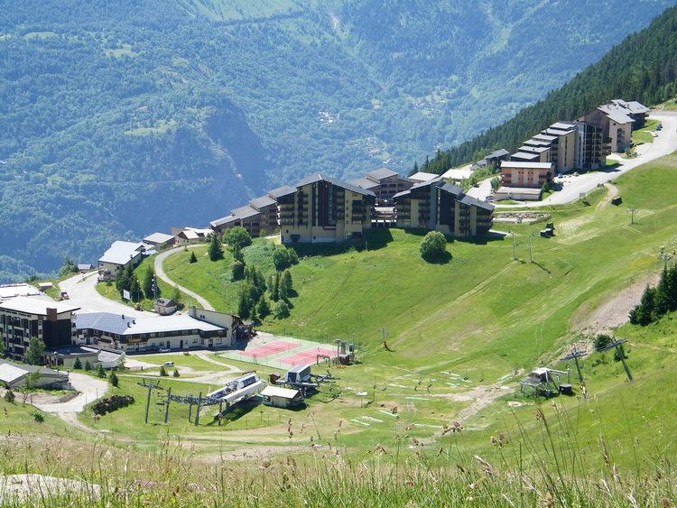
Auris is a French commune in the Isère department in the Auvergne-Rhône-Alpes region of south-eastern France.
Contents
- Map of Auris France
- Geography
- Toponymy
- Administration
- Demography
- Civil heritage
- Religious heritage
- References
Map of Auris, France
The inhabitants of the commune are known as Aurienchons or Aurienchonnes.
Geography
Auris is an alpine commune some 30 km south-east of Grenoble and 5 km west of Mont-de-Lans. Access to the commune is by the D211A road from La Garde in the west which passes through the commune by a tortuous route and continues east to Le Freney-d'Oisans. The D211E branches off the D211A in the commune to go to La Grand Combe. Apart from the village (which is solely the town hall) there is the hamlet of Les Cours to the north and Le Cert and Les Chatains to the south. The commune is rugged with alpine terrain and a large forest to the west of the village (La Forêt).
The Romanche river forms the southern border of the commune as it flows west to the Barrage du Clapier - an artificial lake on the southern border of the commune - then continues west then north to eventually join the Drac at Jarrie. The Venéon river flows from the south through the south-western extension of the commune to join the Romanche there.
Toponymy
The commune is sometimes informally called Auris-en-Oisans.
Administration
List of Successive Mayors
(Not all data is known)
Demography
In 2010 the commune had 207 inhabitants. The evolution of the number of inhabitants is known from the population censuses conducted in the commune since 1793. From the 21st century, a census of communes with fewer than 10,000 inhabitants is held every five years, unlike larger towns that have a sample survey every year.
Sources : Ldh/EHESS/Cassini until 1962, INSEE database from 1968 (population without double counting and municipal population from 2006)