
Country Myanmar Elevation 183 m | Region Taninthayi | |
 | ||
Time zone Myanmar Standard Time (UTC+6:30) | ||
Auriol Island is an island at the southern end of the Mergui Archipelago, Burma. Its highest point is 183 m and is located at its western end. The island is densely wooded, and lies 4.5 km south of Breuer Island.
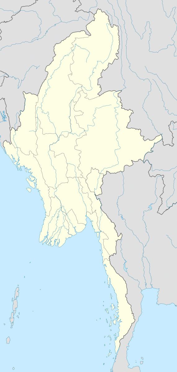
Map of Auriol, Myanmar (Burma)
References
Auriol Island Wikipedia(Text) CC BY-SA