
Population 3 Post town Thurso Local time Thursday 11:41 AM | OS grid reference NC805656 Sovereign state United Kingdom Postcode district KW14 Dialling code 01641 Lieutenancy area Highland | |
 | ||
Weather 8°C, Wind W at 37 km/h, 63% Humidity UK parliament constituency Caithness, Sutherland and Easter Ross | ||
Aultiphurst (Scottish Gaelic: Allt a' Phuirt), in Strathy, Sutherland, is a village in the Scottish Highlands of Scotland.
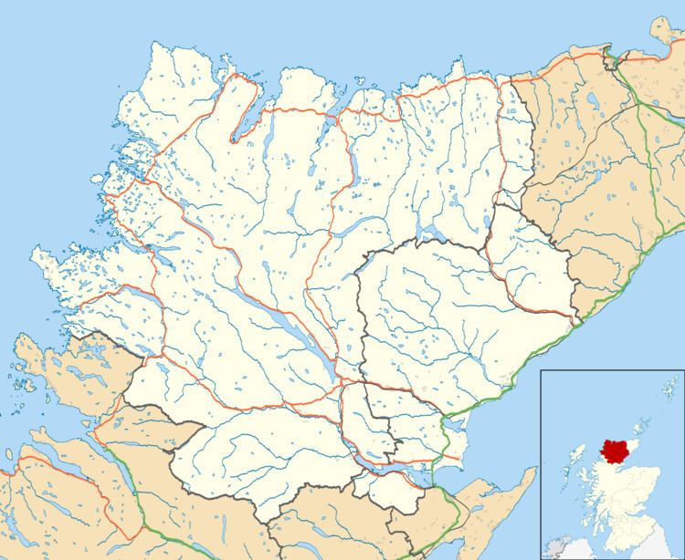
Map of Aultiphurst, Thurso, UK
Aultiphurst was settled as a clearance village mostly from the Naver Highland clearances. During the 19th century more than 30 people worked several crofts belonging to the Mackays. The name Aultiphurst is a misspelling of Allt a' Phuirt, which is Gaelic meaning Allt, a stream; a, of the; phuirt, genitive form of 'port' where a boat can land. Given its exposed location to occasional fierce winds from the Arctic, it is poor cropland, and has traditionally been used for grazing sheep, mostly Texels and Cheviot breeds.
The land around Aultiphurst is part of the Strathy Point and Laidnagullin common grazings. This is managed by the grazings committee and is owned by the Scottish Department of Agriculture.
The crofts at Aultiphurst are named "Armadale croft 12, 11, 10, 9 and 8" on the old titles. All the crofts in Aultiphurst and Brawl were associated previously with Armadale. Sheep regularly drown in the wettest parts of the surrounding bogland. Aultiphurst accepts occasional overnight campers.
Aultiphurst is in the Scottish council area of Highland.