
Intercommunality Vallées d'Ax Area 104 ha Population 60 (1999) | Region Occitanie Canton Cabannes Time zone CET (UTC+1) Local time Thursday 12:38 PM | |
 | ||
Weather 15°C, Wind NE at 5 km/h, 55% Humidity | ||
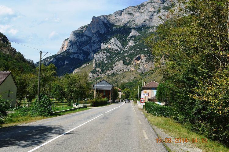
Aulos is a French commune in the Ariège department in the Occitanie region of south-western France.
Contents
Map of 09310 Aulos, France
The inhabitants of the commune are known as Aulosois or Aulosoises.
Geography
Aulos is located some 12 km south-east of Tarascon-sur-Ariège and 22 km north-west of Ax-les-Thermes. Access to the commune is by Route nationale 20 from Sinsat in the north-west passing through the north of the commune and continuing south-east to Luzenac. Access to the village is by the D522 road which branches off the N20 in the commune and goes south-east through the village continuing to Les Cabannes. A railway line passes through the commune with the nearest station at Les Cabannes. Most of the commune is heavily forested with a strip of farmland along the N20 and the D522.
The Ariège river forms the whole eastern border of the commune with no tributaries passing through the commune.
Administration
List of Successive Mayors
(Not all data is known)
Demography
In 2010 the commune had 55 inhabitants. The evolution of the number of inhabitants is known from the population censuses conducted in the commune since 1793. From the 21st century, a census of communes with fewer than 10,000 inhabitants is held every five years, unlike larger towns that have a sample survey every year.
Sources : Ldh/EHESS/Cassini until 1962, INSEE database from 1968 (population without double counting and municipal population from 2006)