
Country France Department Aisne Intercommunality Val de l'Aisne Area 2.6 km² Arrondissement Soissons | Region Hauts-de-France Canton Braine Population (2010) 90 Local time Thursday 11:56 AM | |
 | ||
Weather 10°C, Wind W at 29 km/h, 60% Humidity | ||
Augy is a French commune in the department of Aisne in the Hauts-de-France region of northern France.
Contents
Map of 02220 Augy, France
Geography
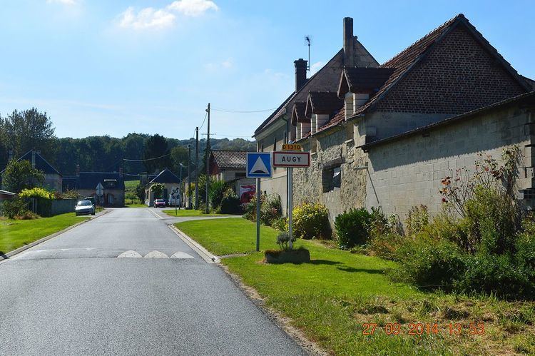
Augy is located 10 km east by south-east of Soissons and 35 km west by north-west of Rheims. National Highway N31 (E46, D1251) from Soissons to Rheims passes through the heart of the commune just north of the village. The village can be reached on the D1310 road which branches south-west from the N31 into the village then east to join the D22 road from Braine which passes through the south-eastern part of the commune. The commune is mostly farmland with areas of forest along the borders - particularly in the west, south, and south-east.
The Vesle river forms the north-eastern border of the commune and a stream flows from the village to join the Vesle.
Administration
List of Successive Mayors of Augy
(Not all data is known)
Demography
In 2010 the commune had 90 inhabitants. The evolution of the number of inhabitants is known through the population censuses conducted in the town since 1793. From the 21st century, a census of municipalities with fewer than 10,000 inhabitants is held every five years, unlike larger towns that have a sample survey every year.
Sources : Ldh/EHESS/Cassini until 1962, INSEE database from 1968 (population without double counting and municipal population from 2006)
Sites and Monuments
The Parish Church of Saint-Remi (12th century). is registered as an historical monument. The church contains many items that are registered as historical objects: