
Time zone CST (UTC-6) Elevation 205 m Local time Wednesday 2:54 PM | Established November 6, 1849 ZIP codes 62311, 62316, 62367 Area 98.26 km² Population 795 (2010) | |
 | ||
Weather 5°C, Wind W at 37 km/h, 68% Humidity | ||
Augusta Township is one of twenty-five townships in Hancock County, Illinois, USA. As of the 2010 census, its population was 795 and it contained 385 housing units.
Contents
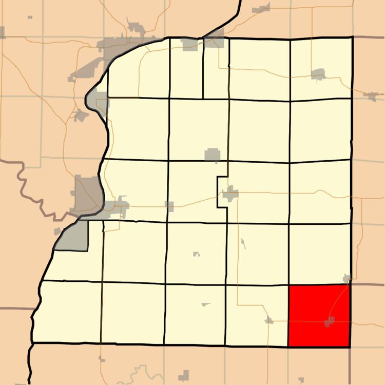
- Map of Augusta Township IL USA
- Geography
- Cities towns villages
- Unincorporated towns
- Cemeteries
- Major highways
- Lakes
- Landmarks
- School districts
- Political districts
- References
Map of Augusta Township, IL, USA
Geography
According to the 2010 census, the township has a total area of 37.94 square miles (98.3 km2), of which 37.89 square miles (98.1 km2) (or 99.87%) is land and 0.05 square miles (0.13 km2) (or 0.13%) is water.
Cities, towns, villages
Unincorporated towns
(This list is based on USGS data and may include former settlements.)
Cemeteries
The township contains these four cemeteries: Old Augusta, Pulaski, Trimble and Woodland City.
Major highways
Lakes
Landmarks
School districts
Political districts
References
Augusta Township, Hancock County, Illinois Wikipedia(Text) CC BY-SA