
Country United States GNIS feature ID 0766389 Area 317.8 km² Population 2,227 (2000) | FIPS code 29-02476 Elevation 292 m Local time Wednesday 1:23 PM | |
 | ||
Weather 11°C, Wind W at 29 km/h, 44% Humidity | ||
Auglaize Township is one of eleven townships in Camden County, Missouri, USA. As of the 2000 census, its population was 2,227.
Contents
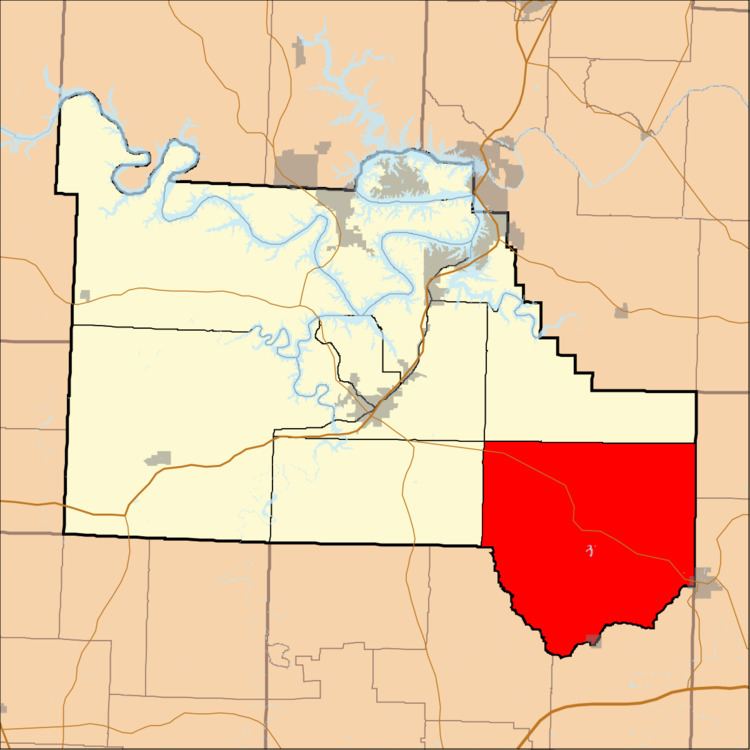
Map of Auglaize Township, MO, USA
Auglaize Township was established in 1841.
Geography
Auglaize Township covers an area of 122.69 square miles (317.8 km2) and contains one incorporated settlement, Stoutland. It contains ten cemeteries: Brown, Campground, Chalfant, Dodson, Hammer, Hillhouse, Knight, Lewis, Sharp and Traw.
The streams of Conns Creek, Mill Creek, Murphy Creek, Sellars Creek, Shakerag Creek, Stoops Branch, Stoutland Creek and Stoutland Creek run through this township.
References
Auglaize Township, Camden County, Missouri Wikipedia(Text) CC BY-SA